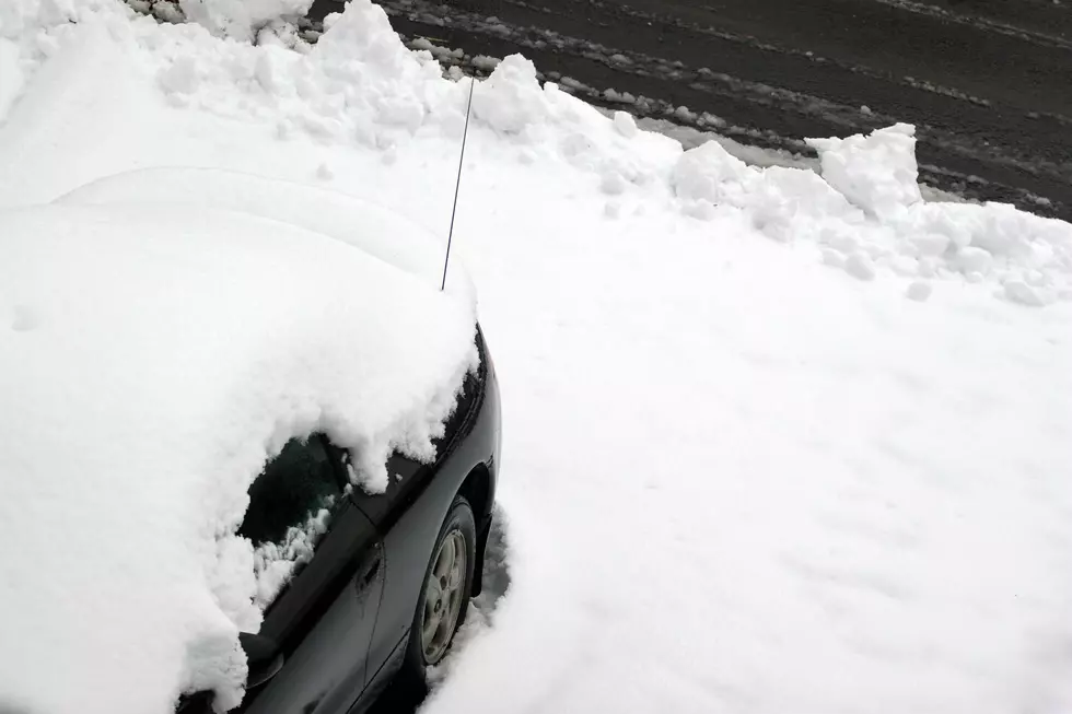
Oh NO! Possible Snow This Week, Don’t Get Crazy
The National Weather Service in Bismarck shared the extended forecast for the week and weekend and, there is a slight chance of snow this week, but don't get all crazy! It won't be a snow storm or any type of accumulations at this point. Nevertheless, is it too early to start to mention snow before Halloween?
It has been a cool September for the region, and the unusually cooler temperatures for October will continue at least this week.
Expect clouds and rain moving into the area tonight (Tuesday, 10/2) and will continue through Wednesday. With temperatures Wednesday ranging from the 30's to the 60's, there is a chance of snow while this system moves through the area.
The best chance of accumulations will be possible on grassy areas across the north late tonight/Wednesday. Wednesday Night, the area will see mostly clear, with a low around 27. Blustery, with a northwest wind 18 to 23 mph decreasing to 5 to 10 mph after midnight. Winds could gust as high as 32 mph.
But then, we're not done with the wintery conditions and the possibilities of snow. Thursday, rain and snow before 11 pm, then snow between 11 pm and 1 am, then a chance of rain and snow after 1 am. On Friday, rain and snow likely, becoming all rain after 9 am.
There is a chance of snow every day through Columbus Day.
Oh, Joy!
More From Super Talk 1270